More GPS field work
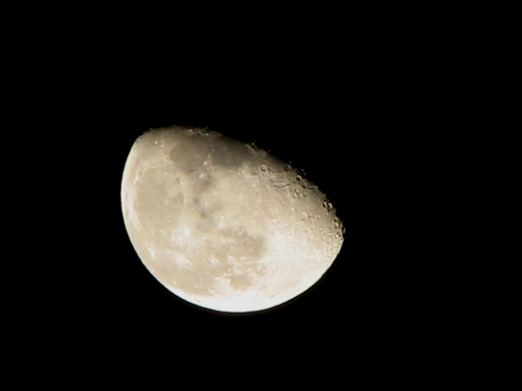
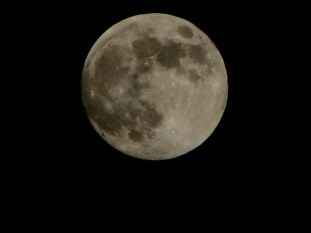
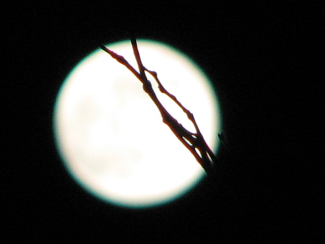
Another moon picture, I took a bunch of these. I am never satisfied, but I thing that is due to the fact that I want the pictures to turn out like looking through a telescope.
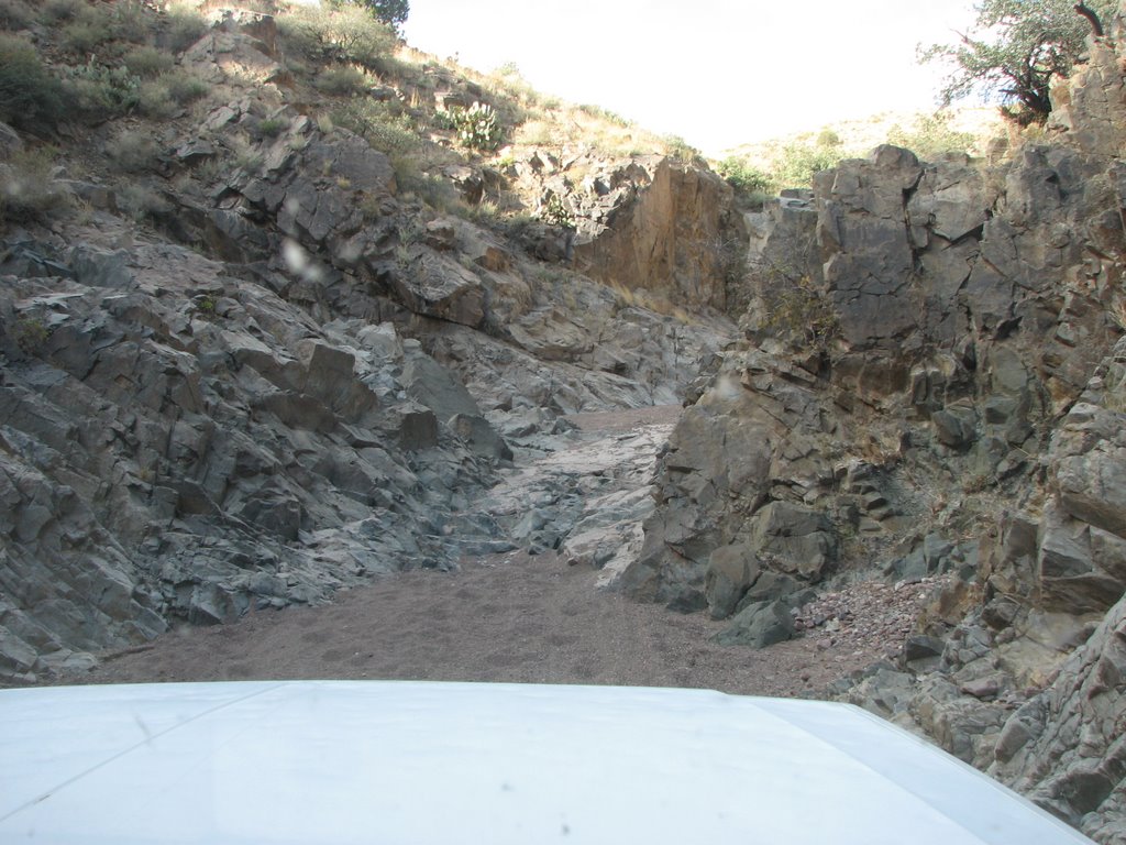
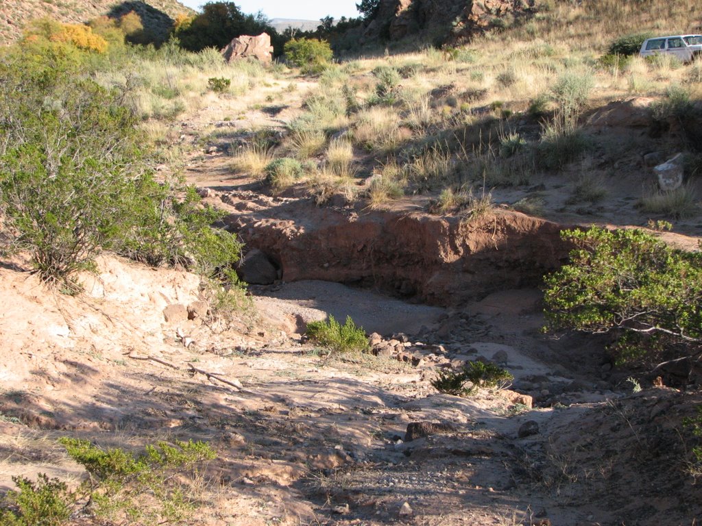
If the Jeep was any wider it wouldn't have made it. This was apperently an old wagan trail.
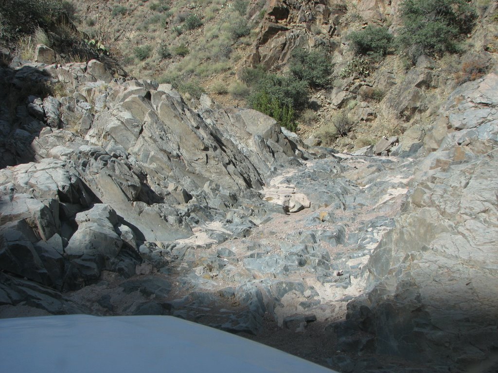
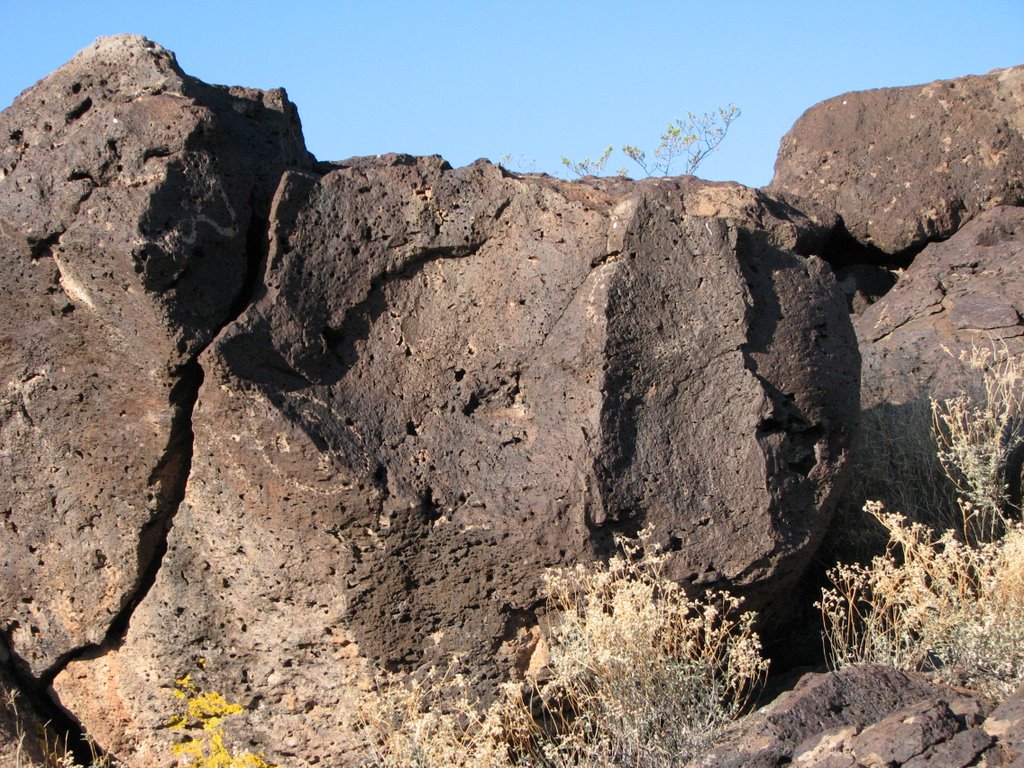
Just around the corner from the last picture
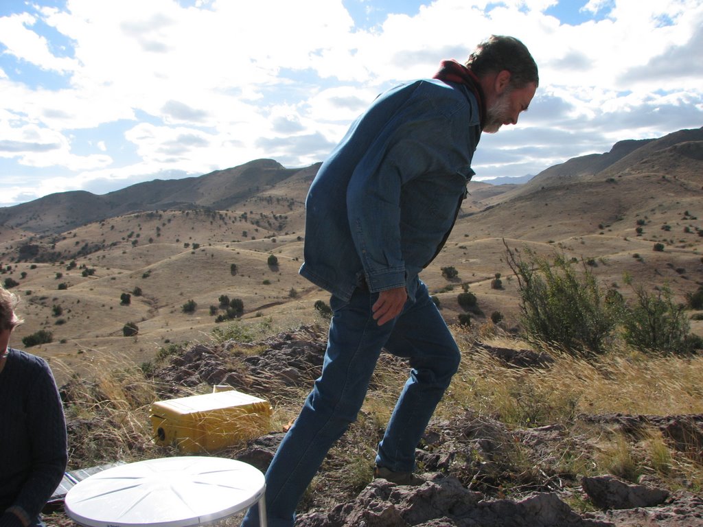
It was windy at the first GPS site we picked up. (yes it really was that windy) We estimated that winds were gusting to at least 40 miles an hour, possibly more. It blew my glasses off my face. That is Dave Love head field geologist for the NM Bureau of geology (If I remeber right his grandrather was the once that discovered Love waves (a type of surface wave produced by and earthquake)
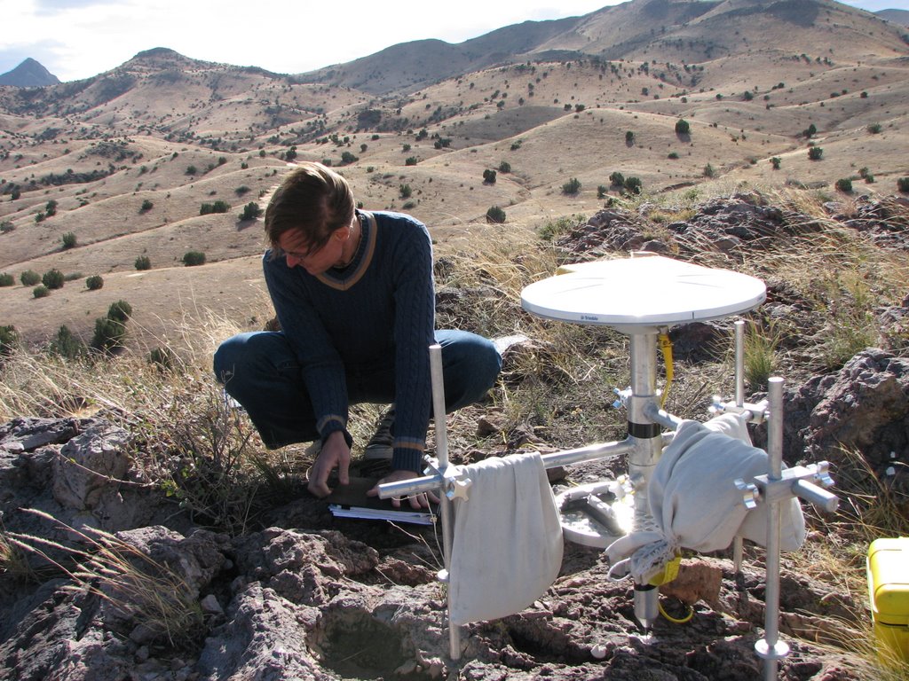
The GPS station we were picking up, and John trying to fill in the field nots without the wind ripping all of the pages out of the notebook
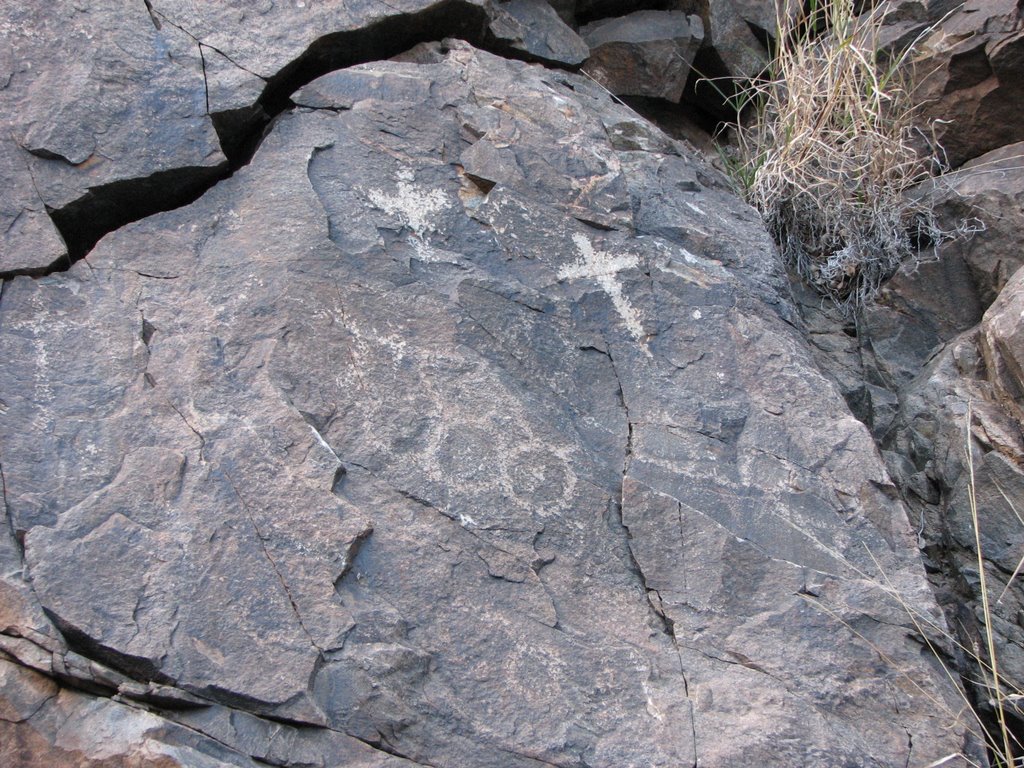
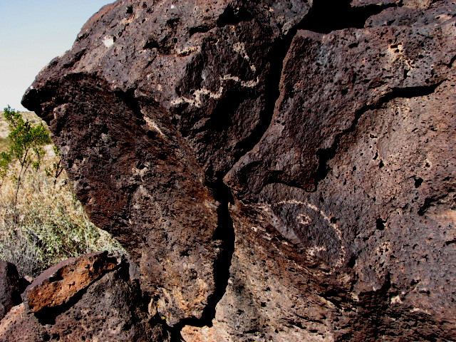
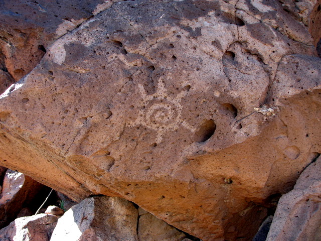
Some Petroglyps that were in the canyon we drove through. The spanish apperently put the crosses on all the rock were they found petroplyps. I havn't had time to see if I can bring out the petroglyps any better.
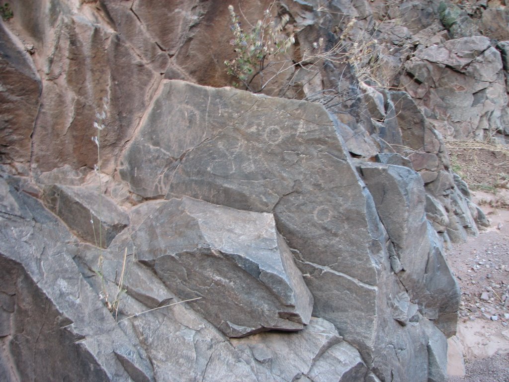


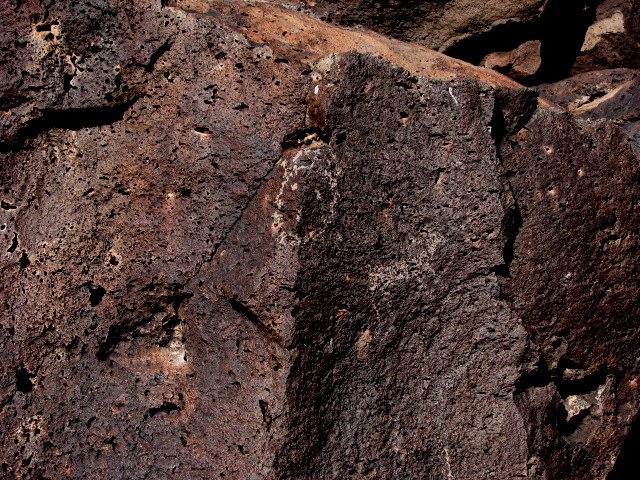
I don't know if this is from hte spanish or not. It looks like it is fairly old though, and took a lot of work to carve.
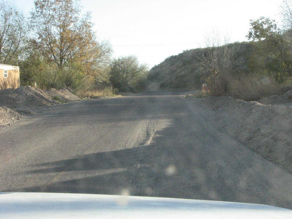
This is a picture of the road through Escondida(just north of Socorro). It looks like a snow plow came through the way the mud is piled up along side the road. The mud is from the flash floods this summer, and Escondid was the worst hit by the flooding. The road looks like this through much of the area, sometimes worse when the road crosses large arroyos.
posted by Milumbar at 1:59 PM
3 comments
![]()